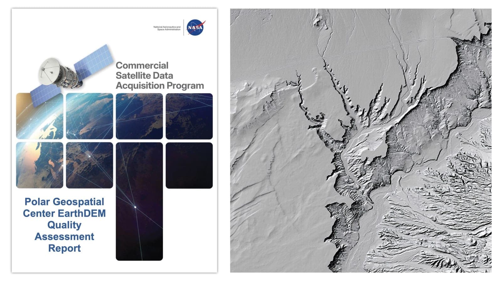
NASA's Commercial Satellite Data Acquisition program issued a quality assessment report on August 8, 2026, evaluating elevation data from the Polar Geospatial Center's EarthDEM product. The assessment examined the horizontal and vertical accuracy of two EarthDEM digital surface models: the Mosaic Tile and Strip products.
NASA digital elevation model experts compared the EarthDEM products against airborne lidar data from the United States and Senegal across varied terrain. The experts found the horizontal accuracy of the Strip product at 0.5 meters and the Mosaic Tile product at 0.3 meters, matching specifications provided by the Polar Geospatial Center and graded as "Excellent." Vertical accuracy proved more variable, with the Strip product measuring 5.6 meters and the Mosaic Tile at 4.9 meters, exceeding the center's specifications and graded as "Basic."
The report supports using EarthDEM data for NASA Earth science research and applications, provided the data characteristics are compatible with specific science objectives. The assessment also found the EarthDEM product "well documented," with information available in the user guide, peer-reviewed publications, and the center's GitHub repository.
The Commercial Satellite Data Acquisition program was established to evaluate and acquire data from commercial sources supporting NASA Earth science goals. The program recognizes that commercial satellite data may provide cost-effective means to complement Earth observations acquired by NASA and other agencies.