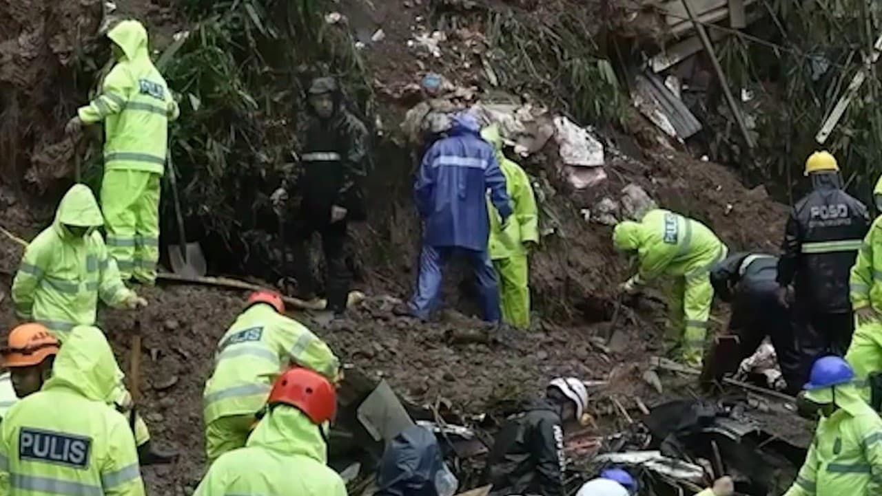
A devastating flood that struck the Tibet-Nepal border on August 26 was triggered by the collapse of a high-altitude glacier rather than a preceding earthquake, according to analysis by the U.S. Geological Survey. The disaster occurred when a large section of glacier located at roughly 5,200 meters in elevation broke away and fell approximately 1,200 meters toward the valley floor, generating an ice-rock avalanche that obstructed the Lhende Khola River before releasing a surge of water, sediment, and debris downstream.
The incident was not a conventional flood produced by excessive rainfall but rather a cascading high-mountain event in which ice, rock, gravity, water, and steep topography combined, researchers noted. The narrow Himalayan valleys then acted as conduits for an exceptionally fast-moving mixture of water, sediment, and boulders. A similar pattern emerged in July 2025, when a devastating flood in Nepal's Bhotekoshi River was traced by satellite analysis to the drainage of a supraglacial lake in Tibet, destroying the Friendship Bridge connecting Nepal and China.
The Himalayan-Tibetan ecosystem is undergoing rapid cryospheric change, with glaciers retreating, snow patterns shifting, and permafrost degrading, researchers said. These changes are making mountain slopes increasingly vulnerable to avalanches, debris flows, landslides, glacial lake outburst floods, and other cascading hazards. The Tibet-Nepal tragedy should be understood as part of an emerging pattern of compound Himalayan hazards rather than an isolated incident, they added.
The Tibetan Plateau serves as the hydrological heart of Asia and source region for major river systems supporting enormous downstream populations, meaning that events originating at high altitude can rapidly translate into emergencies in other countries. The region's steep topography, active tectonics, retreating glaciers, thawing permafrost, and unstable slopes increasingly overlap with roads, railways, hydropower facilities, border infrastructure, and mining activities, creating landscapes whose physical behavior is becoming more difficult to predict, researchers noted.
No conclusive evidence currently shows that a particular Chinese infrastructure project directly caused the August 26 glacier collapse, researchers cautioned, as scientists continue examining the precise combination of temperature changes, snowmelt, glacier dynamics, permafrost degradation, and geological factors involved. However, the broader problem of infrastructure expansion on increasingly unstable terrain remains significant for regional security.